Amorites Territory
$20.00
- Description
Description
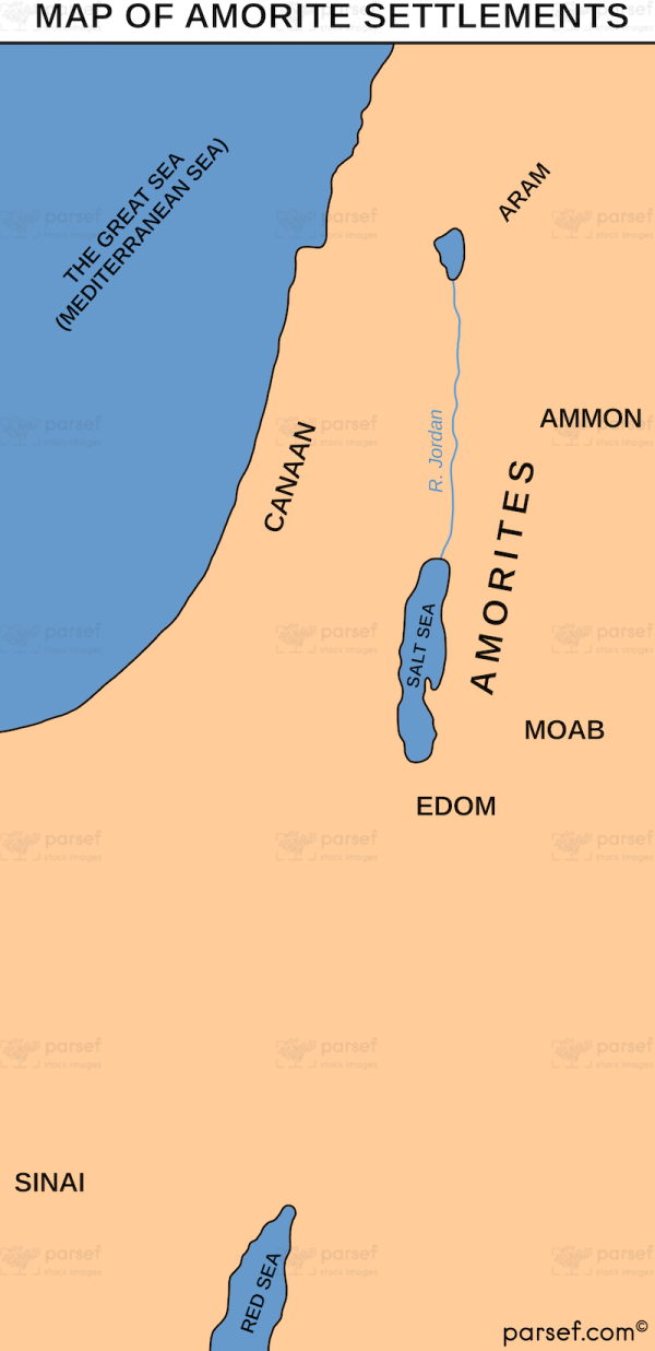
The Amorites Territory stock image is a depiction of the region in the ancient Near East that was inhabited by the Amorite people during the Bronze Age. The map showcases the various cities, kingdoms, and regions that were under Amorite control during this time period.
The map has a vintage feel, with a color scheme that evokes the earthy tones of the ancient world. The background displays the rugged terrain and natural features of the region, such as mountains, rivers, and deserts.
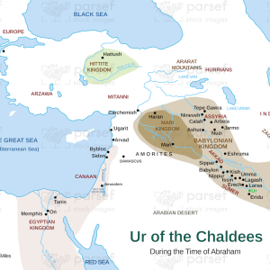
The image is marked with the various cities and regions that were inhabited by the Amorites, including Babylon, Mari, Aleppo, and Damascus. The map also shows the borders of the Amorite kingdoms, such as the Yamhad and the Babylonian Empire, as well as the territories of neighboring peoples, such as the Assyrians and Elamites.
The image is ideal for use in educational materials, such as history textbooks or classroom presentations, as it provides an accurate and visually appealing representation of the geography and political landscape of the Amorite people during the Bronze Age. It can also be used in other contexts, such as in museum exhibits or historical documentaries.
Overall, the Amorites Territory stock image is an informative and visually striking depiction of one of the major cultures of the ancient Near East and the territory they inhabited.


