The New Testament World in the Time of the Roman Empire – Color Hi-Res map
18,00 €
- Description
Description
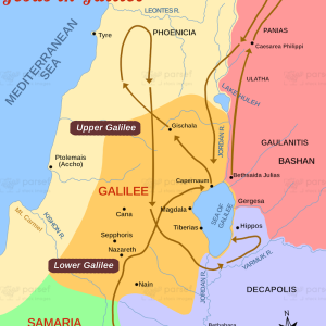
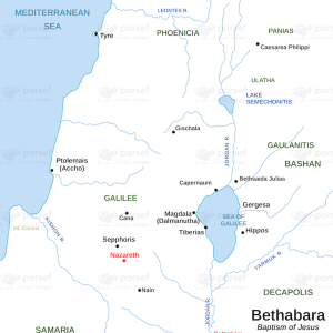
The stock image is a detailed and colorful representation of the geography and political landscape of the ancient Mediterranean world during the time of the New Testament. The map features intricate details of the regions and cities that were central to the spread of Christianity and the events recorded in the New Testament.
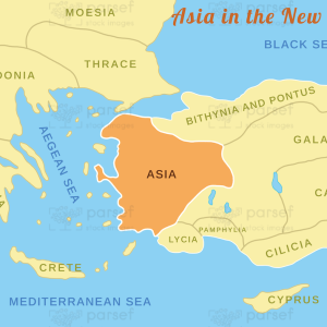
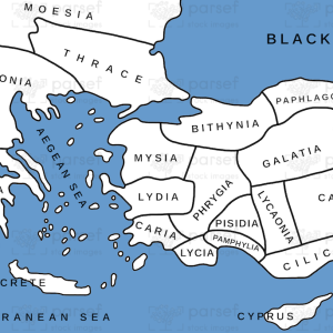
The map highlights key cities and regions, such as Jerusalem, Antioch, Alexandria, Rome, and Corinth, which were significant centers of commerce, culture, and political power during the period. It also shows the various kingdoms and empires that exerted influence over the region, including the Roman Empire, the Parthian Empire, and the Kingdom of Judaea.
In addition to providing information on the political and cultural landscape of the region, the map also highlights the major trade routes and travel routes that connected the various regions and cities. This includes the famous Silk Road, which connected China and the East with the Mediterranean world, as well as the maritime routes that linked the Mediterranean with the Indian Ocean.
The stock image is an invaluable tool for anyone interested in exploring the geography and history of the ancient world during the time of the New Testament. It offers a unique perspective on the political and cultural landscape of the region and provides a rich visual representation of the cities, regions, and travel routes that were significant to the early spread of Christianity.