Paul’s First Missionary Journey
17,00 €
- Description
Description
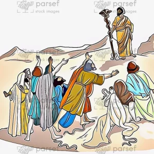
The stock image depicts Paul’s first missionary journey, as described in the New Testament book of Acts. The journey began in Antioch and covered several regions of the Roman Empire, including Cyprus, Pamphylia, Pisidia, and Galatia.
The map shows the routes that Paul and his companions took, as well as the cities and towns where they preached and established Christian communities. Some of the notable locations on the map include Salamis, Paphos, Perga, Antioch of Pisidia, Iconium, Lystra, and Derbe.
The map may also show some of the challenges and opposition that Paul encountered during his journey, such as persecution from Jewish authorities and resistance from non-believers. Overall, the map provides a visual representation of the spread of Christianity in the early years of the faith and the work of the Apostle Paul in establishing new churches and spreading the message of Jesus Christ.