Samaria and Nearby Territories
18,00 €
- Description
Description
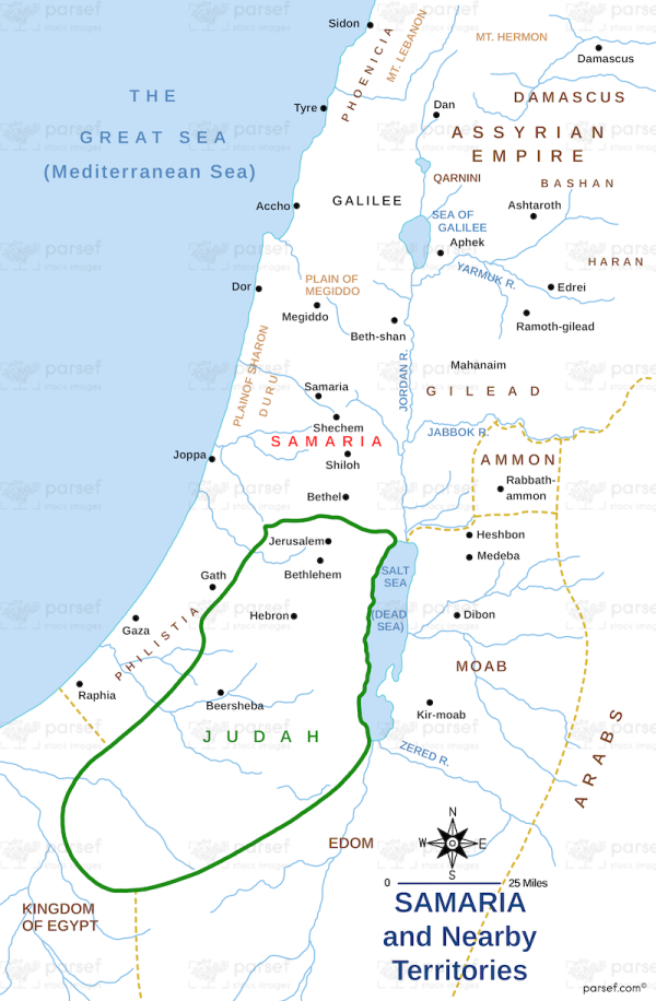
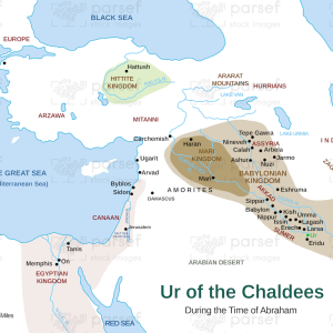
The stock image depicts the region of Samaria and its nearby territories during ancient times. Samaria was a central region of the northern kingdom of Israel and was located between the coastal plain and the Jordan River.
The map shows the city of Samaria and its surrounding towns, as well as nearby regions such as the Jezreel Valley, the Sharon Plain, and the Shechem Valley. The map also highlights major routes and water sources in the region, such as the major trade route known as the Via Maris and the Mount Carmel range.
The image provides a glimpse into the geography and topography of the area, as well as its importance in ancient times as a center of trade, culture, and religion.

