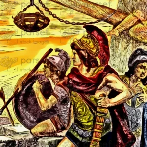
Alexander the Great’s Empire
18,00 €
- Description
Description
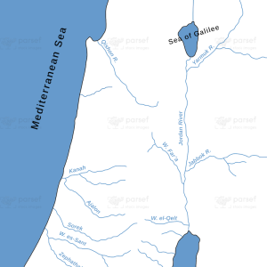
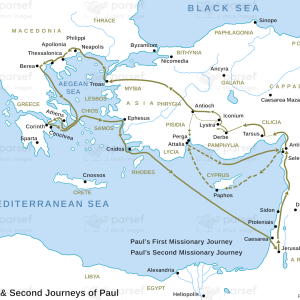
The stock image depicts the vast empire that was established by Alexander the Great, one of history’s most renowned conquerors. The map is rendered in a muted color scheme, with major cities and landmarks marked in black.
The map shows the extent of Alexander’s empire at its peak, which extended from Greece in the west to India in the east, and from Egypt in the south to the Balkans in the north. The empire encompassed a wide range of cultures and ethnicities, and its capital was located in the city of Babylon in modern-day Iraq.
The map highlights important ancient cities that were part of Alexander’s empire, such as Alexandria in Egypt, Antioch in Syria, and Athens in Greece. These cities were centers of culture, trade, and religion in ancient times and were important to Alexander’s conquests.
The map also shows important landmarks in the region, such as the Nile River in Egypt, the Tigris and Euphrates rivers in Iraq, and the Indus River in India, which were all important water sources for ancient societies. The map also features important mountain ranges, such as the Himalayas in India, which were important for trade and commerce.
Other important sites in the region include the ancient city of Persepolis in Iran, which was the capital of the Persian Empire, and the city of Tyre in Lebanon, which was a major center of trade in the eastern Mediterranean.
Overall, the stock image provides a detailed and visually engaging representation of one of the most significant empires in world history. It is a useful resource for historians, educators, and anyone interested in the rich history of the ancient world.