Exodus Route
17,00 €
- Description
Description
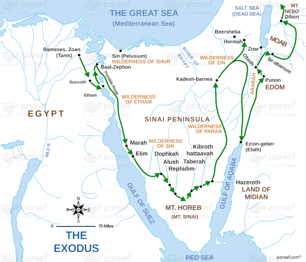
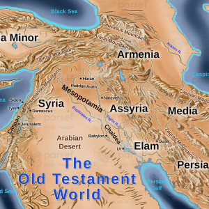
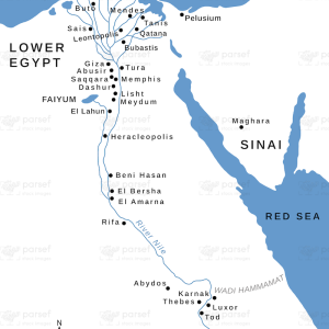
The Exodus Route is a stock image that depicts the journey of the Israelites from Egypt to the Promised Land as described in the biblical book of Exodus. The map shows the different locations and landmarks that are mentioned in the Exodus story, such as the cities of Rameses and Pi-hahiroth, the Red Sea, Mount Sinai, and the Jordan River.
The route is marked with a dotted line, indicating the path that the Israelites are believed to have taken, including their detours and encampments.
The map also includes notes on key events that took place along the way, such as the crossing of the Red Sea, the receiving of the Ten Commandments, and the sending of the spies into Canaan.
The Exodus Route map is often used in religious education and Bible study to help readers visualize and understand the story of the Israelites’ journey from slavery to freedom.

