I Kings Samaria
17,00 €
- Description
Description
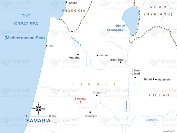
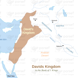
The stock image is a visual representation of the capital city of the northern kingdom of Israel during the reign of King Omri and his descendants. The map showcases the strategic location of Samaria, which was built on a hilltop surrounded by deep valleys that provided natural defense. The city was established in the ninth century BC and became the political and religious center of the northern kingdom.
The map highlights the key landmarks and structures of the city, including the palace, the marketplace, the temple, the royal tombs, and the gateways. The image also depicts the surrounding hills and valleys, which provided fertile land for agriculture and grazing.
Overall, the map provides a visual representation of the city of Samaria and its significance in the history of ancient Israel.

