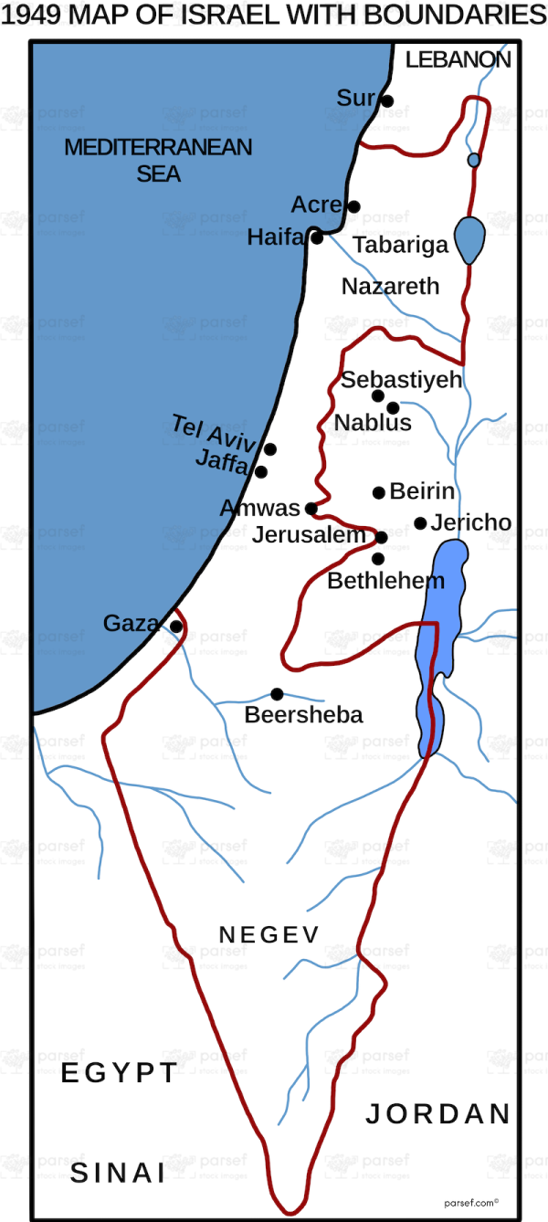
Israel in 1949 With Boundaries
18,00 €
- Description
Description
The stock image depicts the political and geographical borders of Israel shortly after its establishment as a modern state in 1949. The map displays the internationally recognized borders, including the armistice lines from the 1948 Arab-Israeli War, as well as disputed areas such as Jerusalem and the West Bank.
The map also includes the surrounding countries of Egypt, Jordan, Syria, and Lebanon.
The purpose of this map is to provide a visual representation of the geopolitical landscape of Israel during its early years as a state.


