Philistine Valley of Sorek
19,00 €
- Description
Description
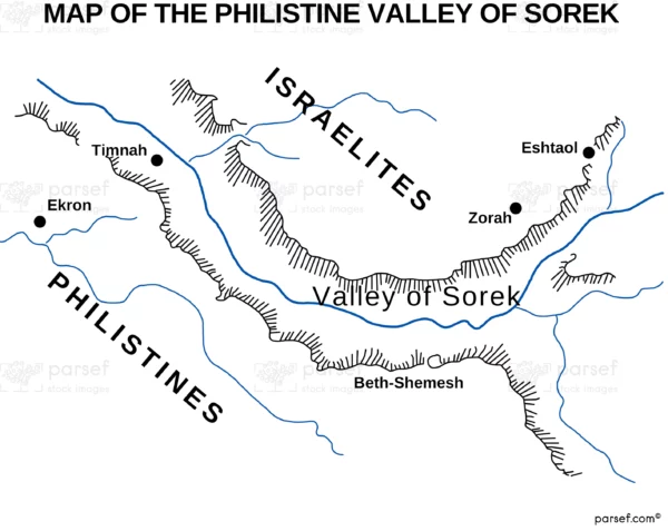
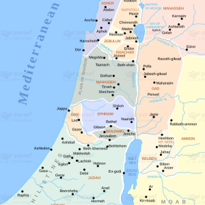
The stock image depicts the region of the Sorek Valley during the biblical times when it was inhabited by the Philistines. The map shows the major Philistine cities that were located in the valley, such as Ashkelon, Ashdod, Ekron, and Gaza, as well as the smaller towns and villages that were scattered throughout the region. The Sorek River, which flows through the valley, is also prominently featured on the map.
The Philistines were one of the major powers in the eastern Mediterranean during the Iron Age, and their presence in the Sorek Valley had a significant impact on the surrounding regions. The map highlights the strategic location of the valley, which served as a major trade route between the coastal cities of the Philistines and the inland regions of Judah and Israel. The Philistines also controlled the production and distribution of various goods, such as wine, oil, and textiles, which were highly valued in the ancient world.
Overall, the map provides a detailed view of the Philistine Valley of Sorek during biblical times, offering insight into the geography, history, and culture of this important region.

