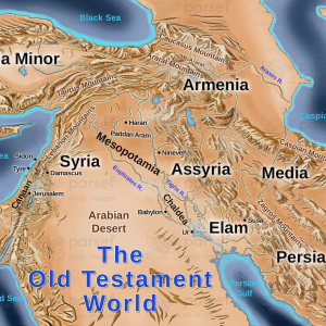
Israel in Jesus’ Time
17,00 €
- Description
Description
The stock image depicts a map of Israel during the time of Jesus Christ. The map is set against a neutral beige background, with black borders and white font to label the various regions and landmarks.
The map shows the geographical boundaries of ancient Israel during the first century A.D., including the regions of Galilee, Judea, Samaria, and Perea. The Jordan River is prominently displayed, running from north to south and marking the eastern border of the land.
Various cities and towns are also labeled on the map, such as Jerusalem, Bethlehem, Nazareth, Capernaum, and Jericho. The Sea of Galilee, where Jesus is said to have performed many miracles and teachings, is located in the northern region of the map.
The image also features illustrations of ancient structures and landmarks, including the Second Temple in Jerusalem, the Mount of Olives, and the Garden of Gethsemane. These landmarks serve as reminders of the significant events that took place in these areas, including the crucifixion and resurrection of Jesus.
Overall, this stock image provides a visual representation of the land and locations mentioned in the Bible, giving viewers a better understanding of the historical and religious significance of these places during biblical times.