The Northern Negev
19,00 €
- Description
Description
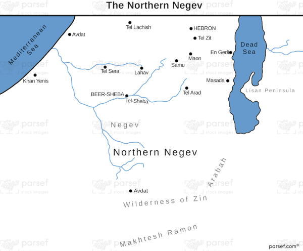
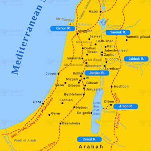
The stock image depicts the Northern Negev region in ancient times. The area spans across southern Israel, including parts of the modern-day Negev desert.
The map showcases various ancient settlements, trade routes, and natural features that would have been present during this time. The Northern Negev was an important region during ancient times due to its strategic location along trade routes that connected Egypt, the Arabian Peninsula, and the Levant. It was also known for its rich agricultural land and mineral deposits, making it a valuable region for settlement and trade.
The map includes notable locations such as the ancient city of Beersheba, which was an important center of trade and commerce during the time of the Israelite kingdom.
The map also highlights various natural landmarks such as the Ramon Crater, a unique geological formation in the region that was created by erosion over millions of years.
The Northern Negev was home to various peoples, including the Israelites, Edomites, and Nabateans, who left their mark on the region through the construction of cities, fortresses, and other structures that can still be seen today.

