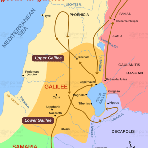
Abraham’s Journey
18,00 €
- Description
Description
The stock image depicts a map of the journey that Abraham and his family took from Ur of the Chaldeans to the land of Canaan, as described in the biblical narrative. The map is set against a neutral beige background, with black borders and white font to label the various regions and landmarks.
The map shows the route that Abraham and his family likely traveled, passing through various cities and regions along the way. These include Ur of the Chaldeans, Haran, the Euphrates River, and the Jordan River.
Various cities and regions are labeled on the map, such as Shechem, Bethel, Hebron, and the Dead Sea. The image also features illustrations of notable landmarks and structures, such as the Tower of Babel and the oak of Moreh.
Additionally, the map highlights the challenges that Abraham and his family faced during their journey, including harsh desert conditions and the need to navigate unfamiliar terrain. The image also underscores the religious significance of the journey, as Abraham was called by God to leave his homeland and travel to the land that God had promised to him and his descendants.
Overall, this stock image provides a visual representation of the journey that Abraham and his family took from Ur of the Chaldeans to the land of Canaan, highlighting the route they likely traveled and the challenges they faced along the way. It serves as a reminder of the faith and obedience that Abraham demonstrated in response to God’s call, and the significance of this journey in the history and culture of the Near East.


