Captivity of the 10 Tribes
18,00 €
- Description
Description
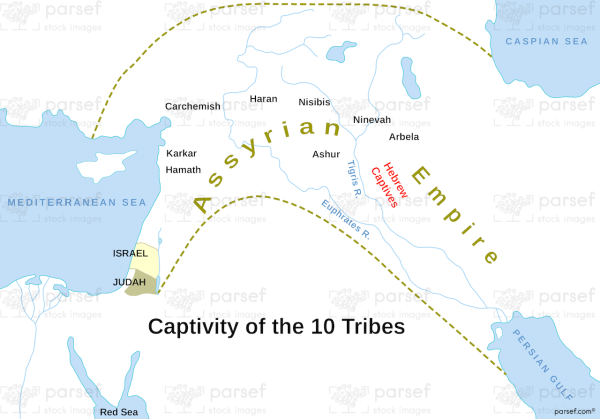
The stock image depicts the geographic region where the ten tribes of Israel were taken into captivity by the Assyrian Empire in the 8th century BC. The map shows the kingdoms of Israel and Judah, with the northern kingdom of Israel highlighted in yellow.
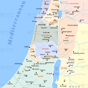
The Assyrian Empire is depicted in blue, showing the extent of their territory during the period of the captivity. The map also displays the major cities and regions of the northern kingdom, including Samaria, Megiddo, and the Jezreel Valley.
This image is useful for illustrating the historical context of the captivity of the ten tribes and the geopolitical landscape of the ancient Near East during this period.


